Disaster Management Application and Research Center Examines the Earthquake Zone
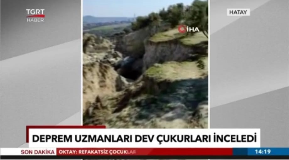
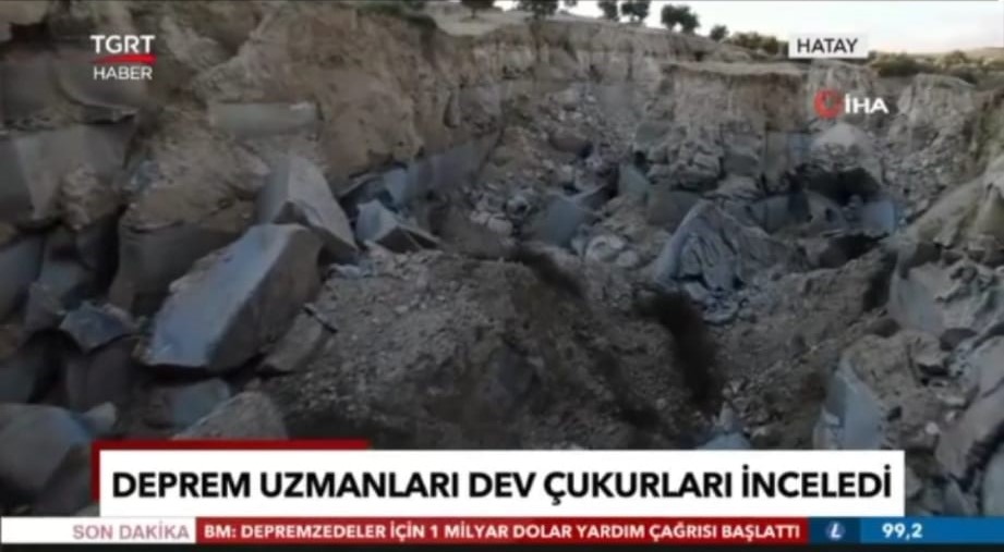
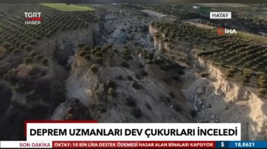
MAUN faculty members examine the 30-meter-deep and 200-meter-wide pit in the 35-decare olive grove in Hatay Tepehan village.
MAUN Disaster Management Application and Research Center Director Faculty Member Dr. İskender Dölek and his team of 5 people worked on the pit formed by dividing the 35-decare olive orchard in Tepehan village of Altınözü district of Hatay during the Kahramanmaraş-centered earthquake on February 6-7.
Working on the 30-meter-deep, 200-meter-wide pit formed by dividing the 35-decare olive grove in the middle, the team stated that the damage that occurred here clearly showed the extent of the disaster. Examining the slits, according to the preliminary investigations of Faculty Member Dr.İskender Dölek and his team, these crevices were caused not by the rupture of the fault line, but by the landslide caused by the high energy that emerged during the earthquake. It was stated that this landslide, which may occur in 50 years, took place overnight due to the energy released by the effect of the earthquake.
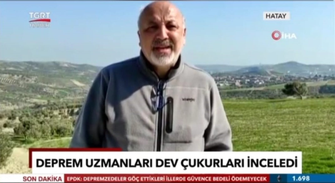
Dr. İskender Dölek stated that “We came to the field with our team to determine the deformations in the fields after the earthquakes. There was a big rift claimed to have occurred in the vicinity of Tepehan village with the earthquake. It was stated that the fault line broke the surface here. We came here with our team and made field observations. We took drone images from which we will create surface models with centimeter precision. In addition, we also took samples to determine the soil properties to be examined in the laboratory. Our first determination is that there is a mixed landslide pattern here. There is a very thick clay and magma material on the ground, and a water layer at about 50 meters. A landslide occurred here as the energy released with the earthquake made the ground insensitive.”